

Climate, Volume 8, Issue 3 (March 2020) – 11 articles
Cover Story (view full-size image):
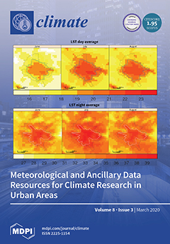
An increasing plethora of both meteorological and ancillary data are presently available for climate research and applications in urban areas. The data are often held by local or national institutions (i.e., meteorological services, universities, or environmental agencies). This paper outlines 33 datasets, organized into three main categories of meteorological data resources (14 datasets) and four categories of ancillary data resources (19 datasets), selected for their potential to support urban climate studies but, also, for their free accessibility. Such a collection cannot be exhaustive, but we aim to draw attention to relevant freely available datasets with temporal and spatial resolutions that are appropriate for urban climatology. Each dataset contains information about its availability, limitations, and examples of research in urban areas. View this paper
- Issues are regarded as officially published after their release is announced to the table of contents alert mailing list.
- You may sign up for e-mail alerts to receive table of contents of newly released issues.
- PDF is the official format for papers published in both, html and pdf forms. To view the papers in pdf format, click on the "PDF Full-text" link, and use the free Adobe Reader to open them.
Previous Issue
Next Issue