

Fire, Volume 5, Issue 3 (June 2022) – 29 articles
Cover Story (view full-size image):
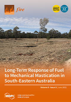
Mechanical mastication is a fuel management strategy that modifies vegetation structure to reduce the impact of wildfire. Our study sought to quantify changes to fuel loads and structure over time following mastication and as a function of landscape aridity. Sites had been masticated within the previous 9 years to remove over-abundant shrubs and small trees. Surface fuel loads were highest immediately post-mastication and in the most arid sites. Surface fine fuel loads declined over time, whereas surface coarse fuel loads remained high; these trends occurred irrespective of landscape aridity. Standing fuel regenerated consistently, but shrub cover was still substantially low at 9 years post-mastication. Fire managers need to consider the trade-off between a persistently higher surface coarse fuel load and reduced shrub cover to evaluate the efficacy of mastication for fuel management. View this paper
- Issues are regarded as officially published after their release is announced to the table of contents alert mailing list.
- You may sign up for e-mail alerts to receive table of contents of newly released issues.
- PDF is the official format for papers published in both, html and pdf forms. To view the papers in pdf format, click on the "PDF Full-text" link, and use the free Adobe Reader to open them.
Previous Issue
Next Issue