


Land 2023, 12(5), 1039; https://doi.org/10.3390/land12051039 - 10 May 2023
Cited by 1 | Viewed by 1520
Abstract
►
Show Figures
Habitat networks can help to make habitats more resilient and assist species survival in a fragmented landscape and changing climate. Butterflies are one of the main indicators of diversity due to their high sensitivity to environmental changes. In the context of sudden and
[...] Read more.
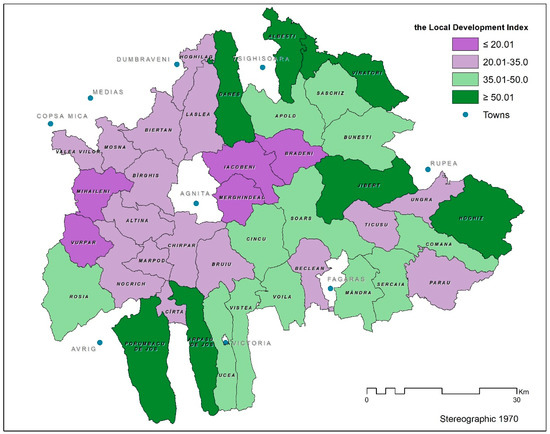
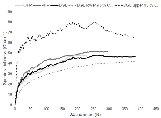
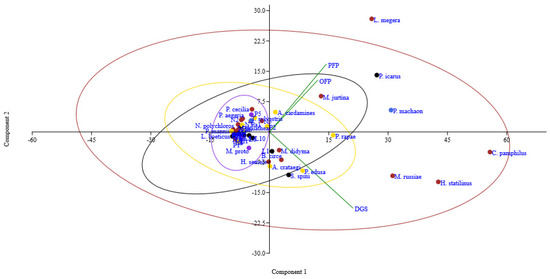
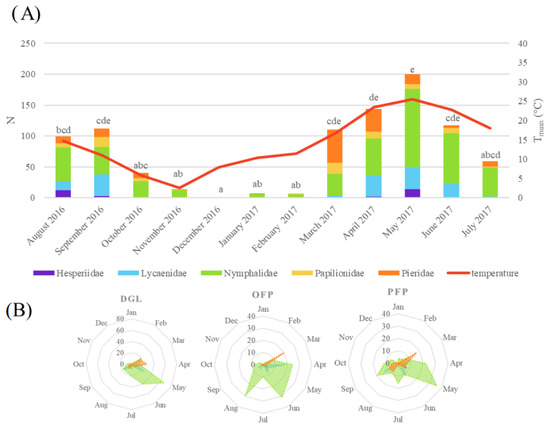
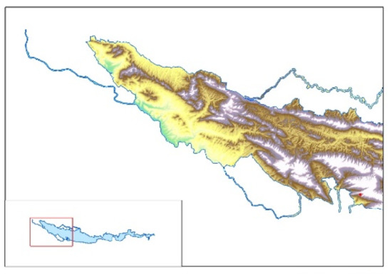
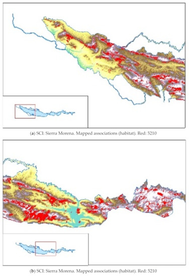
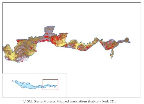
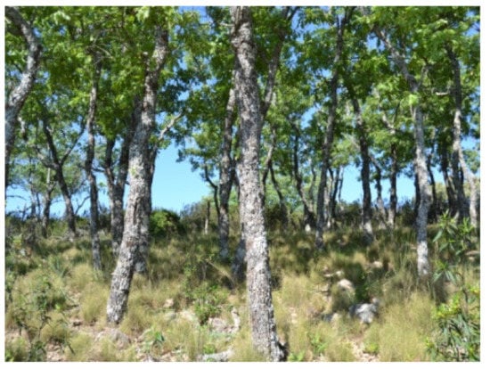
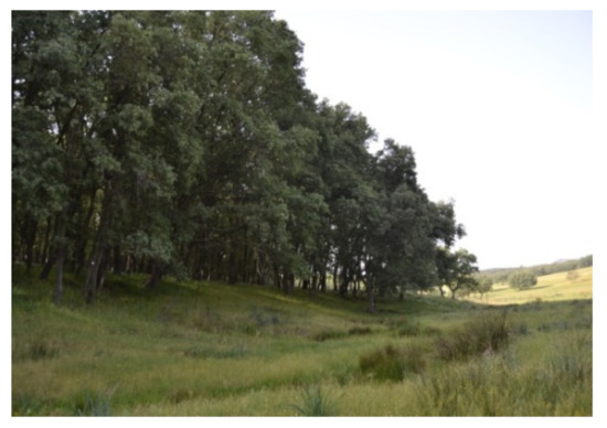
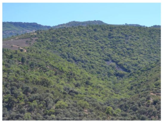
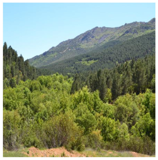
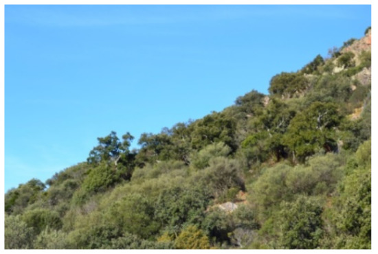
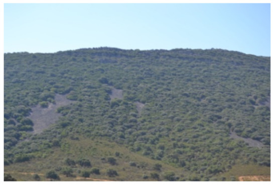
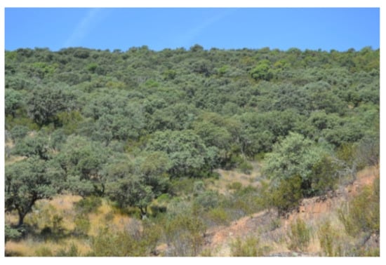
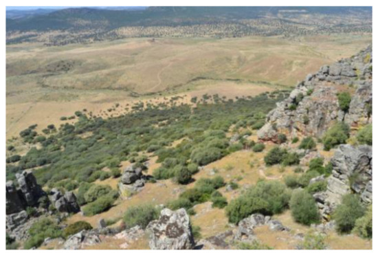
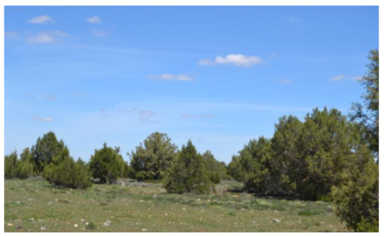
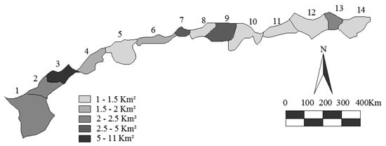
Habitat networks can help to make habitats more resilient and assist species survival in a fragmented landscape and changing climate. Butterflies are one of the main indicators of diversity due to their high sensitivity to environmental changes. In the context of sudden and unpredictable environmental changes, protection strategies for butterflies at risk of extinction should consider the exact distribution of these species, as well as the various threats to which each of them is subjected. About 290 species of butterflies are reported in Italian fauna, and 120 of them are recorded in Apulia (Southern Italy). In the Alta Murgia National Park (AMNP) (Apulia Region, Italy), screening was performed to study the relationships between area/landscape composition and diurnal butterfly community structure. Representative semi-natural habitats of Alta Murgia buffering productive crops were selected to set up transects/paths along dry grasslands, oak forests and pine forests. Monthly samplings were performed for one year. During the survey, 909 specimens from 53 species were collected. The highest values of butterfly’s abundance and richness were recorded in dry grasslands. A strong positive correlation between butterfly abundance and air temperature was registered (Pearson correlation: r = 0.8; p < 0.001). Melanargia arge, endemic in central-southern Italy and considered threatened in Europe (Annexes II and IV—Habitats Directive), was registered in each habitat. The biodiversity indices (Chao 1, Shannon and Simpson) for each habitat were high and similar to those in protected areas of Sicily. The connected landscape is important for generalist or open-habitat specialists, and large remnants are key for disturbance-sensitive and threatened taxa. The presented evidence can provide useful information on butterfly conservation in the AMNP and for the management and conservation of characteristic landscapes of Alta Murgia.
Full article
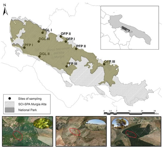
Figure 1

