

Journal Menu
► ▼ Journal Menu-
- IJGI Home
- Aims & Scope
- Editorial Board
- Reviewer Board
- Topical Advisory Panel
- Instructions for Authors
- Special Issues
- Topics
- Topical Collections
- Article Processing Charge
- Indexing & Archiving
- Editor’s Choice Articles
- Most Cited & Viewed
- Journal Statistics
- Journal History
- Journal Awards
- Society Collaborations
- Conferences
- Editorial Office
Journal Browser
► ▼ Journal BrowserNeed Help?
Announcements
8 June 2023
Topics Webinar | EO&GEO Series: UAV Remote Sensing for LULC, Landscape, Citizen Sciences, 13 July 2023
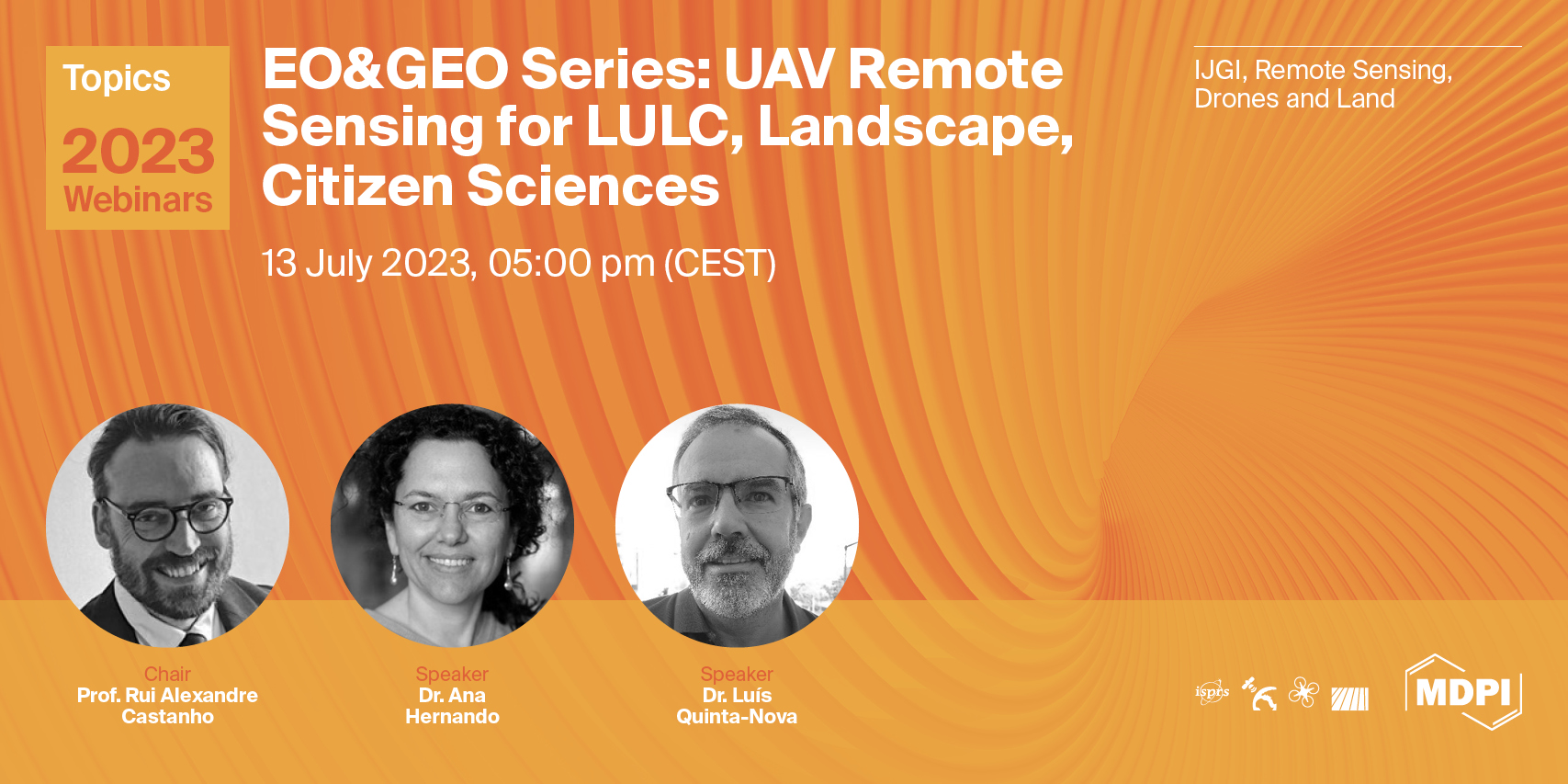
A message from Prof. Rui Alexandre Castanho, the webinar chair:
Throughout the webinar, we will have the opportunity to hear from leading experts in their fields, engage in productive discussions, and participate in hands-on workshops and activities. We aim to foster new partnerships through collaboration and innovation, providing a platform where a range of ideas can be shared.
Unmanned aerial vehicles (UAVs) have revolutionized remote sensing for land use and land cover (LULC) mapping and landscape analysis. The ability to capture high-resolution aerial imagery and create 3D landscape models has allowed for more accurate and detailed mapping of LULC patterns, changes, and trends over time.
Furthermore, using UAVs for citizen science initiatives has enabled communities to participate in monitoring and managing their local environments. This approach allows for a more collaborative and inclusive approach to environmental management and can help to build community awareness and engagement in environmental issues.
UAVs have also been used for mapping vegetation, soil erosion, and water quality monitoring. These applications have provided researchers and managers with new tools to better understand and manage natural resources. UAVs can collect data quickly and at a high resolution, allowing for more detailed analysis of small-scale features such as vegetation canopy cover, plant height, and soil erosion patterns.
Using UAVs for remote sensing and citizen science initiatives has opened up new opportunities for more efficient and effective environmental monitoring and management. As technology continues to improve, we can expect to see even more innovative applications of UAVs in environmental research and management.
At this webinar, we hope you will gain new insights, make valuable connections, and leave feeling inspired and motivated to drive positive change in your respective fields.
Date: 13 July 2023 at 5:00 p.m. CEST | 11:00 a.m. EDT | 11:00 p.m. CST Asia
Webinar ID: 870 9667 3555
Register now for free!
![]()
|
Speaker/Presentation |
Time in CEST |
Time in EDT |
|
Prof. Rui Alexandre Castanho |
5:00–5:10 p.m. |
11:00–11:10 a.m. |
|
Dr. Ana Hernando |
5:10–5:50 p.m. |
11:10–11:50 a.m. |
|
Dr. Luís Quinta-Nova |
5:50–6:30 p.m. |
11:50 a.m.–12:30 p.m. |
|
Q&A Session |
6:30–6:55 p.m. |
12:30–12:55 p.m. |
|
Prof. Rui Alexandre Castanho |
6:55–7:00 p.m. |
12:55–01:00 p.m. |
After registering, you will receive a confirmation email containing information on how to join the webinar. Registrations with academic institutional email addresses will be prioritized.
Unable to attend? Register as normal to be notified when the recording is available to watch.
Webinar Chair and Keynote Speakers
- Rui Alexandre Castanho, Department of Management, WSB University, Dabrowa Górnicza, Poland;
- Ana Hernando, Departamento de Ingeniería y Gestión Forestal y Ambiental Department of Forestry and Environmental Engineering and Management, Universidad Politécnica de Madrid, Spain;
- Luís Quinta-Nova, Agrarian Higher School, Polytechnic Institute of Castelo Branco, Castelo Branco, Portugal.
Relevant Topic:
“Advances in Earth Observation and Geosciences”
Edited by: Prof. Dr. Diego González-Aguilera and Dr. Pablo Rodríguez-Gonzálvez
Abstract submission deadline: 31 December 2023
Relevant Special Issues:
"Land-Use Planning in Borderlands and Ultra-Peripheral Regions"
Edited by: Dr. Rui Alexandre Castanho, Dr. José Manuel Naranjo Gómez, Prof. Dr. José Martín Gallardo, Dr. José Cabezas Fernández and Prof. Dr. Luís Quinta-Nova
"Planning Peripheral and Ultra-Peripheral Infrastructures"
Edited by: Prof. Dr. Rui Alexandre Castanho, Prof. Dr. Ana Vulevic, Prof. Dr. Gualter Couto and Prof. Dr. José Manuel Naranjo Gómez
"Sustainability in Tourism Activities and the Low-Density and Peripheral Territories"
Edited by: Prof. Dr. Rui Alexandre Castanho and Prof. Dr. Gualter Couto
"Remote Sensing Applications in Land Use, Land-Use Change and Forestry (LULUCF)"
Edited by: Dr. Ali Nadir Arslan, Prof. Dr. Katarzyna Dabrowska-Zielinska and Dr. Jose Manuel Álvarez-Martínez
"Resilient UAV Autonomy and Remote Sensing"
Edited by: Dr. Chi Chen, Dr. San Jiang, Dr. Xijiang Chen, Dr. Mao Tian, Dr. Jianping Li and Dr. Jian Zhou
"Advances on Land Cover/Land Use Ontologies for Innovative Production/Utilization of Land Information"
Edited by: Dr. Antonio Di Gregorio, Dr. Matieu Henry, Chris T. Hill, Prof. John Latham, Prof. Dr. Mohammed Abed Hossain, Dr. Khalid Mahmood and Dr. Foster Mensah
Relevant feature paper:
“The Land Use Mapping Techniques (Including the Areas Used by Pedestrians) Based on Low-Level Aerial Imagery”
by Maciej Smaczyński, Beata Medyńska-Gulij and Łukasz Halik
ISPRS Int. J. Geo-Inf. 2020, 9(12), 754; https://doi.org/10.3390/ijgi9120754