

Land, Volume 8, Issue 11 (November 2019) – 20 articles
Cover Story (view full-size image):
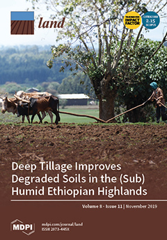
Intensification of rainfed agriculture in the Ethiopian highlands has resulted in soil degradation and hardpan formation. We carried out a study in five locations with three tillage treatments to investigate the impact of subsoiling of degraded soil on surface runoff, sediment loss, and maize yield. We found that deep tillage to 60 cm compared to both conventional tillage to a depth of 15 cm with the ox-driven Maresha plow and no-till had greater infiltration rates and maize yields and less runoff and soil loss. Overall, our findings show that deep tillage can be effective in overcoming some of the detrimental effects of hardpans in degraded soils. View this paper.
- Issues are regarded as officially published after their release is announced to the table of contents alert mailing list.
- You may sign up for e-mail alerts to receive table of contents of newly released issues.
- PDF is the official format for papers published in both, html and pdf forms. To view the papers in pdf format, click on the "PDF Full-text" link, and use the free Adobe Reader to open them.
Previous Issue
Next Issue